top of page


From a different perspective
Ise Up
Aerial Image & Video
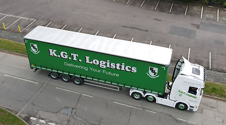
Residential Commercial Industrial Leisure Hospitality
Roof
Chimney stacks
Smoke stacks
Gutters
Drain pipes
Solar Panels
Wind turbines
Thermal (FLIR)
Masonry
Mobile telephone masts
Telegraph poles
Water/gas/fuel pipelines
Towers/high rise
Water/fuel tanks
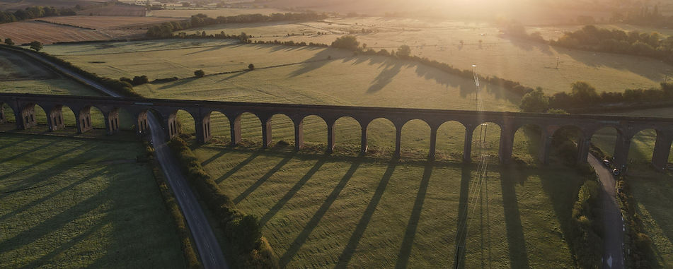
Bridges
Gantries
Utilities
Pylons
AC condensers
Signage
Estate/Acreage/site
Fire & Flood
Agriculture
Security


.jpg)
Hyperlapse of a busy industrial estate round-a-bout. 25 photographs for 1 second of video X 975 photographs stitched together to make a 39 second video (click bottom right of video for sound)

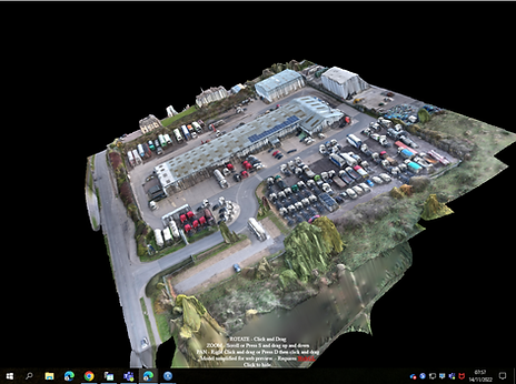
GPS linked orthomosaic Mapping: Construction & Development, building projects, borders and measurements, acreage & agricultural, geo-reference environmental & geographical movements, topographical measurements


CAA Licenced and UAVHUB/DroneSafe approved UAS drone pilot

Find us on


bottom of page